Background
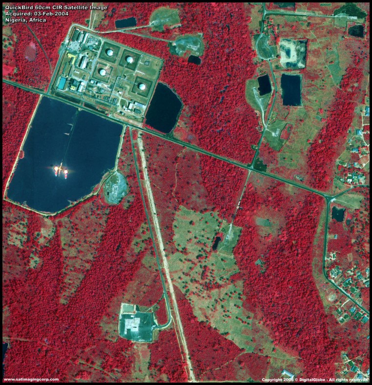
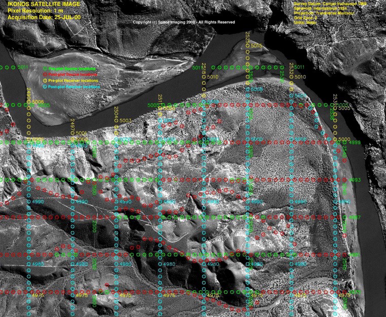
The most established market in remote sensing (RS) is in the area of natural resources for exploration of oil, gas, and minerals. Remote Sensing technology aids in the selection and development of oil and gas exploration areas around the World as well as in the areas of oil spill mitigation and remediation. Through geological and geophysical seismic interpretation and use of orthorectified satellite images, it provides insight on the selection of areas to plan 2D or 3D seismic surveys as well as aiding in the process of environmental and operational safety hazards to minimize the HSE risks. There is currently no other technology that matches or exceeds the capabilities of remote sensing and its necessity in the oil industry. In addition, many specialists will agree that geographic information systems (GIS) particularly in the context of petroleum exploration and development - is one of those technologies that is hard to get one's arms around. Part of the reason is the absence of a standard definition of just what a GIS is and what it's supposed to do in the petroleum industry.


Capabilities
- Evaluating the hydrocarbon potential in prospective areas by analyzing the satellite images, digital aerial photomosaics, cross sections and etc.
- Analyzing the large quantity of data which are mainly based on geographic position.
- Allowing to manage the spatial components of petroleum business objects, and apply appropriate geographic analysis efficiently across the enterprise.
- Providing the possibility to manage, inquiry, analyze, and visualize the spatial data.
- Organization of the spatial elements by analyzing the spatial data using GIS, through which all of the data will be integrated in a platform with a uniform database.
Applications
- Spatial analysis to optimize well drilling patterns
- Mapping the potential hydrocarbon accumulations, subsurface secondary fluid migration network, and the potential migration pathways
- Risk mapping of each petroleum system element
- Regional risk mapping of petroleum system
- Hydrocarbon reserve or volume estimation
- Raster analysis-based deterministic prospect of petroleum reservoirs volume
- Spatial analysis of data in unconventional resources
- Analyzing the seismic survey maps and related data
- Satellite image processing and spatial data analysis
- Data integration and visualization in real time
- Coordination of workflows and personnel across rig sites
- Accurate monitoring of environmental changes in real time for controlling the HSE (Health, Safety and Environment) and emergency response during oil leakage or explosion
- Least cost path analysis for pipeline network distribution
- Pipeline network analysis for determination of environment friendly and cost-effective routes
- Pipeline monitoring for preventing geo-hazards and leaks
- Seafloor geodesy in offshore operations
- Efficient emergency response to hazards by determining precise location of vehicles
Benefits
- Empowering decision-making
- Supporting future actions and ongoing activities
- Increasing efficiency of activities
- Cost effective and environment friendly
- Seamless management
- Improving communication
- Record keeping
